

Tropical Storm Vance moves away from Jalisco
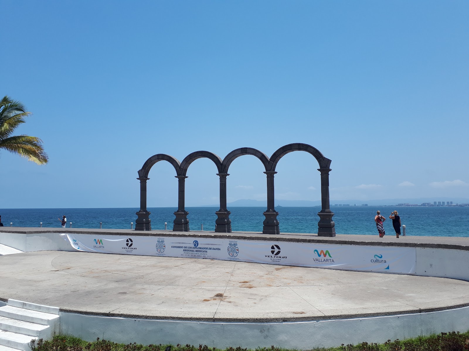
Tropical Storm Vance was continuing to move away from the coast of Jalisco, but possible effects remained for different areas of the state. Those effects could include high waves and rain, while waves along the coasts of Jalisco could reach between one and two meters.
At 0300 UTC on October 30, 2026, the remnants of Vance’s center were located near 20.7N 107.7W. The remnants were moving toward the north-northeast, or 20 degrees, at 7 knots. The maximum sustained winds were 25 knots, wind gusts reached 35 knots, and the estimated minimum central pressure was 1008 millibars.
The position reports differ across the final updates: at 0000 UTC on October 30, the center was near 22.6N 107.8W, while three hours later the remnants’ center was near 20.7N 107.7W. The forecast for 1200 UTC on October 30 was that the system would dissipate. This was the last forecast/advisory issued by the National Hurricane Center on this system.
In Jalisco, command posts remain active in Puerto Vallarta, Talpa de Allende, Cihuatlán, and Cabo Corrientes. Authorities are working in a coordinated manner to protect the population, their property, and the environment. Authorities are maintaining surveillance and monitoring operations because of the possible effects of Tropical Storm Vance.
Civil Protection reported that surveillance patrols are continuing on beaches, rivers, and streams along the North and South coasts of Jalisco. Surveillance patrols are also continuing on roads where rainfall-related impacts could occur.
The system could produce very heavy rain in northern Nayarit and intense rain in central and southern Sinaloa. Citizens were urged to stay alert to official notices and follow Civil Protection recommendations.